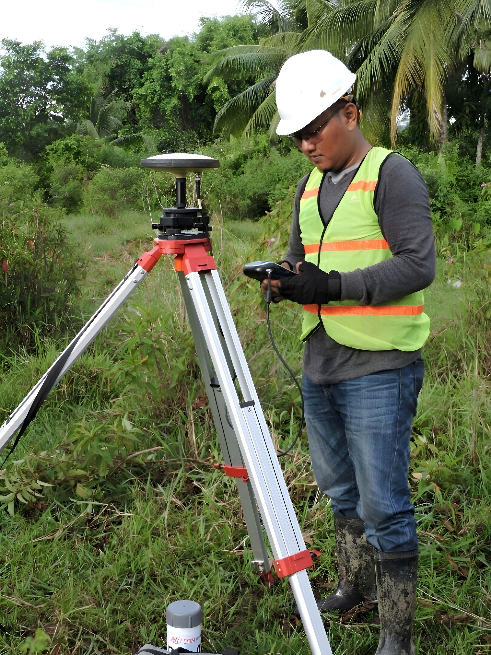
For every EU-bound shipment of palm oil or rubber, an EUDR-ready supplier should give you four things: the geolocation of each production plot (points or polygons), the production period, legality evidence, and a chain of custody record that links those plots to the lot on your bill of lading. You use this data to file your due diligence statement. It needs to arrive in a usable format and match your shipping documents exactly.
This guide shows what each part contains and how to check it. For the wider picture, see our EUDR page.
What the regulation requires
Under Regulation (EU) 2023/1115, geolocation means the location of a plot of land given by latitude and longitude, using at least six decimal places. For commodities other than cattle:
- Plots of 4 hectares or less can be described by a single point.
- Plots over 4 hectares must be described by a polygon with enough points to show the perimeter.
Six decimal places locate a point to roughly 10 centimetres, which is why rounded coordinates are not accepted.
What you should receive
| Part | Contents | Typical format |
|---|---|---|
| Plot geolocation | One point or polygon per plot | GeoJSON |
| Plot list | Plot ID, area, producer type (estate or smallholder), production period | Spreadsheet or CSV |
| Deforestation check | Result per plot against forest cover at 31 December 2020, and the dataset used | Report or table |
| Legality evidence | Land use rights, permits, labour and tax compliance, as applicable | Document set |
| Chain of custody | Links from plots to collection, processing, lot and container | Table or report |
| Shipment match | Lot numbers, quantities and HS code matching invoice and bill of lading | Cover sheet |
The EU information system accepts geolocation as GeoJSON. Check the current technical specification for file size limits and structure before you rely on a supplier's format.
How to check the data before you file
- Count. Do the number of plots and the area make sense for the volume? A large shipment from a handful of small plots is a warning sign.
- Map. Load the GeoJSON into a GIS tool or your compliance platform. Points should fall on farmland in the stated country, not in rivers, towns or protected forest.
- Precision. Coordinates should have six or more decimal places.
- Polygons. Plots over 4 hectares should be polygons, and polygons should not overlap.
- Dates. The production period should fit the shipment date.
- Match. Lot numbers, net weight and HS code should agree with the commercial documents. See export documents explained.
Chain of custody: the link that matters
Geolocation only proves something if the rubber or oil in your container came from those plots. That depends on the chain of custody:
- Rubber: cup lump from mapped farms is recorded at collection, kept separate in transport and processed in identified batches that become the shipped lots.
- Palm oil: fruit from mapped plots is recorded at the mill, and EU-bound oil is stored and loaded separately from other oil.
Ask how the supplier prevents untraced material entering at each stage. A clear answer is worth more than a large file of coordinates. Our guide to EUDR due diligence for rubber covers the rubber-specific risks.
Confidentiality
Plot coordinates identify individual farms. Treat them as confidential data, share them only with people who need them for due diligence, and store them securely. Data protection law may apply where plots can be linked to individual farmers.
Why the trader's role matters here
A buyer abroad cannot visit hundreds of farms. A trader with field teams can map plots, register producers, keep material separate and assemble the data into one package that matches the shipment. That is a large part of why EU buyers use a trader instead of buying direct.